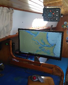
The right chart plotter for offshore cruising.
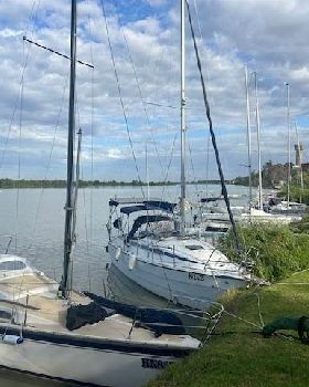
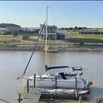
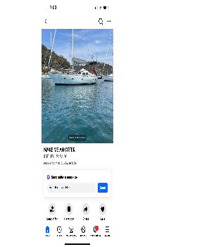
ive get about 16 weeks left before embarking on the trip of a lifetime. Living outta my 25 foot Tophat for possibly 18 months. Getting to the final stages of the prep, but I'm still not savvy as to what chart plotter system to use.
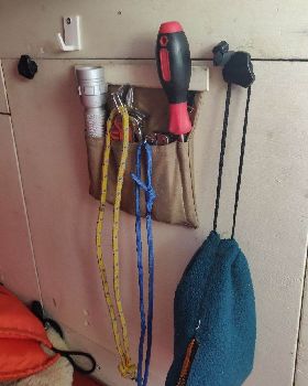
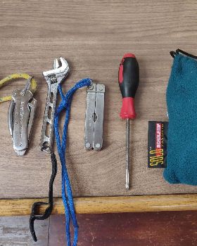
I'm trying to keep the boat as light as possible with room to spare. I'm by nature a minimalist and hate clutter and full cupboards , drawers etc.
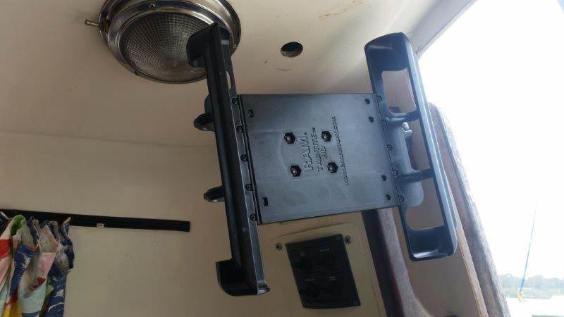
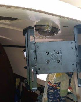
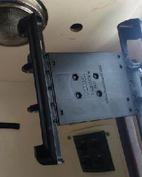
i currently have a handheld Garmin GPS unit, but the screens on these things are tiny. I do really love the idea of using an Acer 501A 10.1 inch tablet . It has a GPS chip and a usb port for a GPS puck also.
Im leaning towards this because of the weight, which would make it easier to make a rotating bracket that would keep the tablet inside whilst I view from cockpit and then can be rotated indoors for use inside.
The only thing is the question of navionics. Personally I love the app a lot but is it enough for remote islands in the South Pacific. I am also saving a lot of Google earth images and will have charts although not for everywhere I may go..
any advice much appreciated. I know a cheap lippy with GPS puck is the go , but it would be bulky and id almost have to make a table for it. I'm sure it's do able but I prefer the idea of a tablet so I don't have to rig wiring and furniture to suit. However if this is the best option for navigating then I'll do it, it I don't really want to!
View topic