Make your own charts
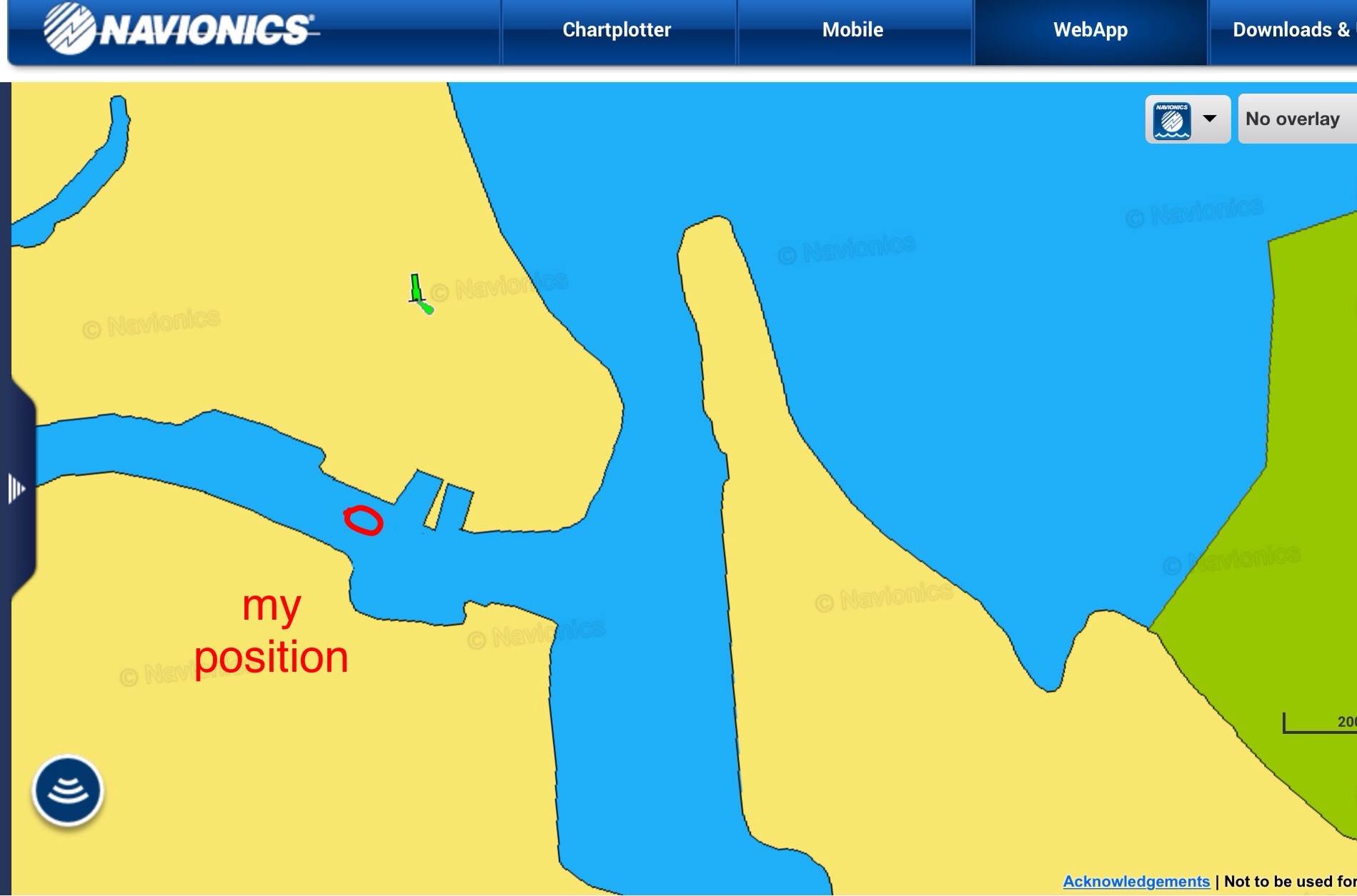
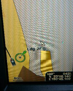
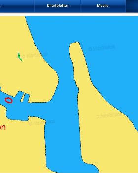
Have any of you had any experience with this setup up from Navionics. I often thought it would be nice to be able to have some way of charting isolated river mouths or even the upper reaches of rivers (or any areas of doubt) in the tender to enable the safe entry of my boat. I've found that the standard purchased electronic charts have a lot to be desired in some locations and this new gear from Navionics may give piece of mind.
http://www.navionics.com/en/sonarphone?utm_source=iContact&utm_medium=email&utm_campaign=iOS_SonarPhoneSCLive_FY15&utm_content=NAV454_iOS_SonarPhoneSCLive_Int
View topic