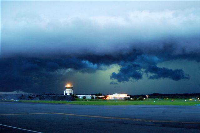
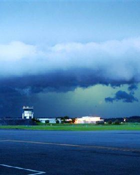
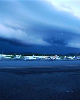
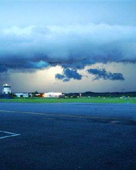
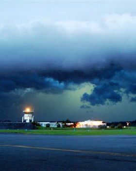
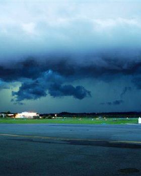
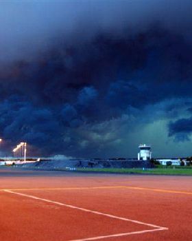
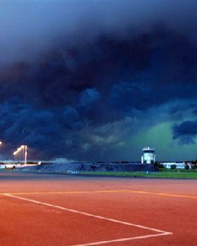
Storm supercells?
I was wondering about the storm that clobbered he Gap last month.
I understand there were 2 storm cells that came together and made a small "supercell" which I understand to be an intense cell small in area but extending to a high altitude somewhat like a tornado. (could be wrong)
I'm trying to imagine the mechanics of it.
I thought that all storms were subject to the coriolis effect and rotated in the same direction. In that case if the cells actually joined together you would expect to see winds blowing in opposite directions when they bumped together and cancel each other out but then the winds from both would merge to circulate around the entire area covered by both storms. I don't see how that would increase the intensity.
If I imagine the 2 cells approaching each other then the air between them would be accelerated into a rotating column of the opposite chirality, but that would be a secondary effect not directly generated by the atmospheric conditions that generated the original cells. I don't see how that would be particularly intense either.
Any of you weather boffins understand this stuff?
View topic