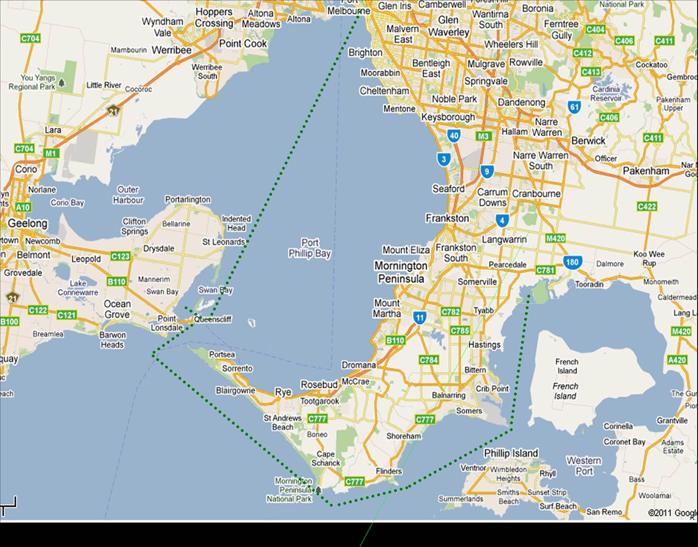
From Port Phillip Bay to Westerport
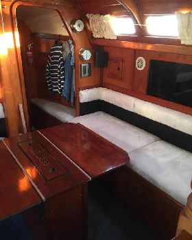
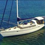
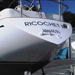
T / S Aquarius7 "Sea Eagle" has to be in Westernport. After 2 month preparation at St.Kilda marina the boat was ready. It was just important to get the right sailing window going through heads. Than the weather forecast for next few days looks promising.
On Tuesday 28 of June, early morning, the boat is launched at St. Kilda marina.
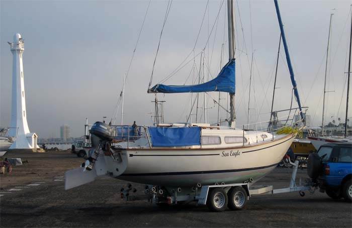
St. Kilda Marina 28 of June 30, 2011, early morning.
We are heading to Queenscliff as a first leg of the trip.
Some parts of Melbourne are sunny but the Port Phillip Bay was under thick fog cover.
No wind, no sun airy calm. After 4+ hours motoring we pass West Channel marker.
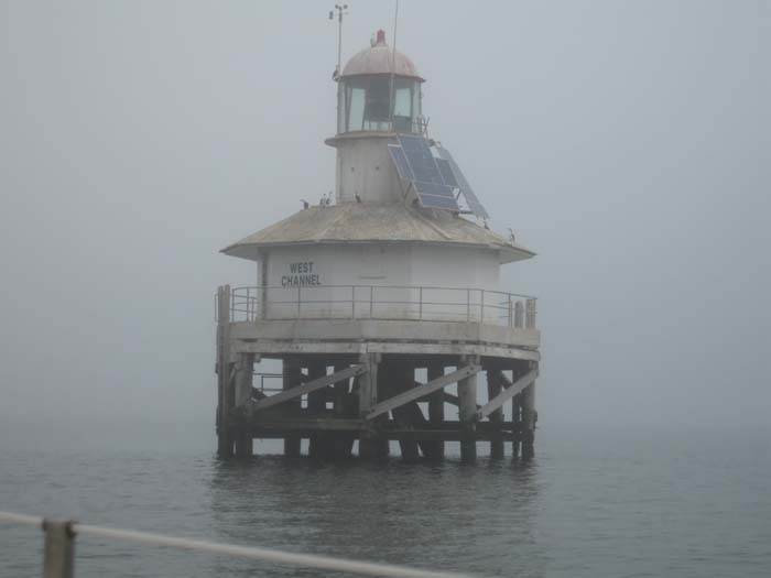
Port Phillip Bay - West Channel Marker, lunch time.
That time the fog got thicker. After 7 hours seeing nothing else than a few channel makers
we arrived in Queenscliff. Top up 10l petrol in local marina, than park ranger arrived and sent us away from a public jetty. We have to tight the boat to “The one and only big red boy” at the end of the entrance channel.
Quick meal and strait to bed.
"Big Day" tomorrow.
A plan was, get up at 4am and pass through Port Phillip Bay entrance “The Rip” after 5am.
What a morning, Melbourne winter night with thick fog cover. We surrounded, our own Navigation Lights were reflected by thick fog back to us. It was very calm, visibility 20m and Bass Strait right ahead.
Going through “The Heads” to Bass Strait with no visibility is a challenge. What about Bass Strait, in last few days it was a bit windy, over 20 knots.
Passing the red boy Shortland Bluff less than 30 m to verify how precise we can navigate,
as it was last reference before the ocean. Visibility has not improved. 2 miles to opening.
Listening busy commercial shipping, it was time to let Point Lonsdale know about our existence and intention to cross shipping channel heading to Westernport.
A bit surprise I guess for P. Lonsdale.
Where are you “Sea Eagle"?
One mile from the Rip on western edge of the channel - outbound.
P Long. : Now I can see you on the radar, can you see traffic on your radar?
S Eagle: Negative we don't have a radar, we using a chart plotter only.
P Long. : You still inside the channel, move outside of west channel boundary,
keep this course and listen on chan.12 further instruction.
In half an hour the boat movement has changed dramatically, just to realize,
We Are in Bass Strait.
Black and Foggy, still trying to catch reflection our own Nav. Lights 10 m ahead of us.
Well, we heading to Tasmania, not particularly impressed but when the boat behaves very well, you safe.
Long hour or so, when captain of an outbound oceanliner requested from P Lonsdale
“I am turning west outside the Heads and you still keep that little boat on western boundary."
Finnaly: P Longs. to Sea Eagle: permission given to cross shipping channel.
We set new course to Cape Shank.
Wind still under 5 knots, than we have to motor. It was already daylight, fog was easing and we see the dot in foggy surroundings,
Wow Cape Shank. Didn't last long, an hour later we lost the dot. Why? Time to think,
“ We lost at sea ” , going East , 5 miles from the coast and Light House not there any more.
Brand new Platimo magnetic compass was playing up since we left, than
autopilot lost a heading and now GPS. Where we really going?
/ or solar magnetic flares / we still don't know.
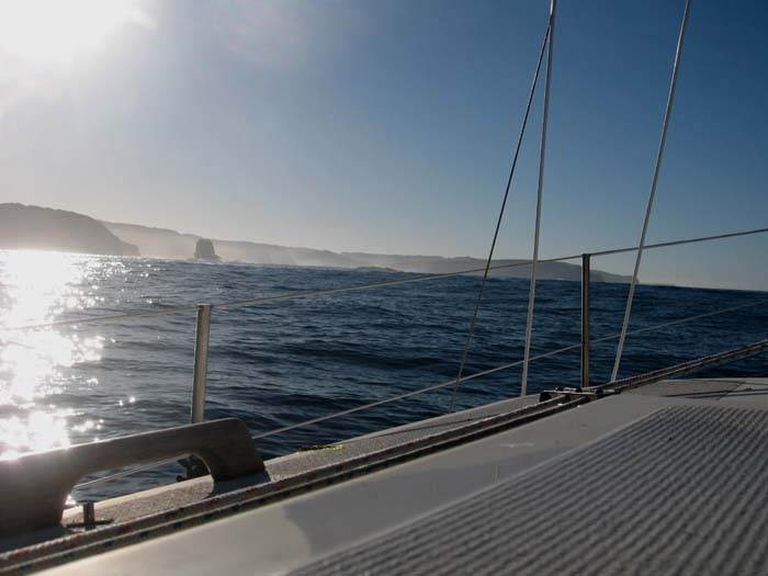
Cape Shank and Fliders in far distance.
Before lunch we see mainland again, rounding Cape Shank in full sun, turning to Flinders.
Here it is Westernport , blue sky, Flinders right ahead and Seals Rock on starboard.
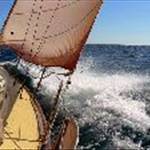
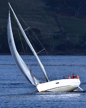
Bass Strait on 23 foot Trailer Sailer is experience on it's own.
A few 4 m rollercoasters, 4 dolphins, seaweed in the prop and bright sunny afternoon to the rest of the leg to Yaringa.
Bass Strait leg - 12 hours from Queenscliff to Yaringa, 35l of petrol, 5.5 knots, from Flinders 3.5 knots, passing Cribs Point, Hastings against the tide.
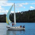
Skipper Michael with a deckhand
AHOY ALL SHIPS BIG AND SMALL