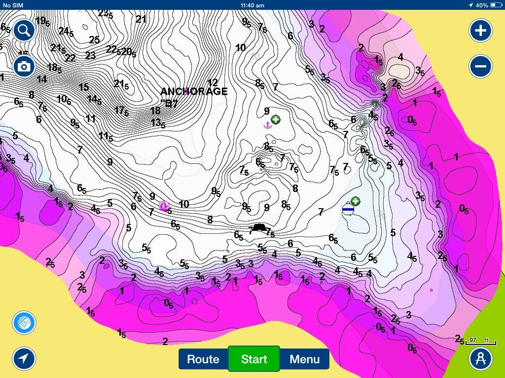
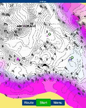
Got my hands on one of these sonars that wifi into your iPad and update the Navionics charts as you cruise along. Good gear. Here is a screen shot where we went into an uncharted reef and then I set the sonar up in the dinghy to get us safely back out.
Once I had verified where the reef was (not) I was able to take some way points off the iPad and put them on the boat chart plotter to make a safe track back out


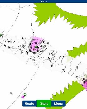
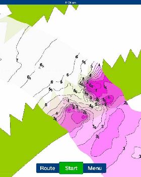
Here is a bay I ran the dinghy around in the dinghy to get some more detail. The depth readings are all linked to the local tide station so it records the depth readings correctly for the chart no matter what stage the tide is at.
These depth readings are then uploaded to navionics next time I log on to check for chart updates. And then a couple of weeks later everyone gets my chart readings when they update.