Weather Situation
A low pressure system will reach southwest Victoria tonight with an associated
cold front entering the western half of the State. The front will reach eastern
Victoria during Monday as the low passes through Bass Strait, and then moves
away to the southeast during Tuesday. A high pressure system will build over
northwestern Victoria on Wednesday, then drift slowly southeastwards across
Victoria on Thursday.
Forecast for Sunday until midnight
Winds: Northerly 20 to 30 knots decreasing to 15 to 25 knots later in the
evening. Seas: 1 to 2 metres. Isolated thunderstorms late this evening.
vs
www.bom.gov.au/products/IDV60901/IDV60901.95872.shtml
It can't be difficult to forecast an hour ahead can it?
The report was pretty close for Point Wilson - but I always find that the BOM tend to report a little on the high side anyway.
Of all the forecasting services, I find the BOM forecast to be generally the most accurate. I also use www.bom.gov.au/marine/wind.shtml as it tends to take land mass into account as well.
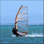
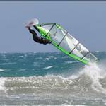
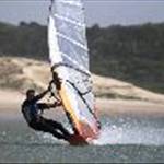
Yeah I got really peed off on Sunday. Gear packed in car, wetsuit dry and ready to go. Wasted my whole day sitting at the computer updating the wind.
Got day of tomorrow so looking forwards to sailing a SW, if they get it right.