dave...... said...
Cumulo-numbus clouds look anvil shaped and have severe up/downdrafts, they dont occur in WA or rarely over East if at all, they occur in the US and Europe.
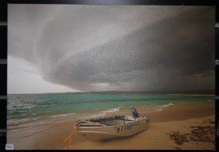
Dave has spot on advice - the colour of the sky tells you alot.
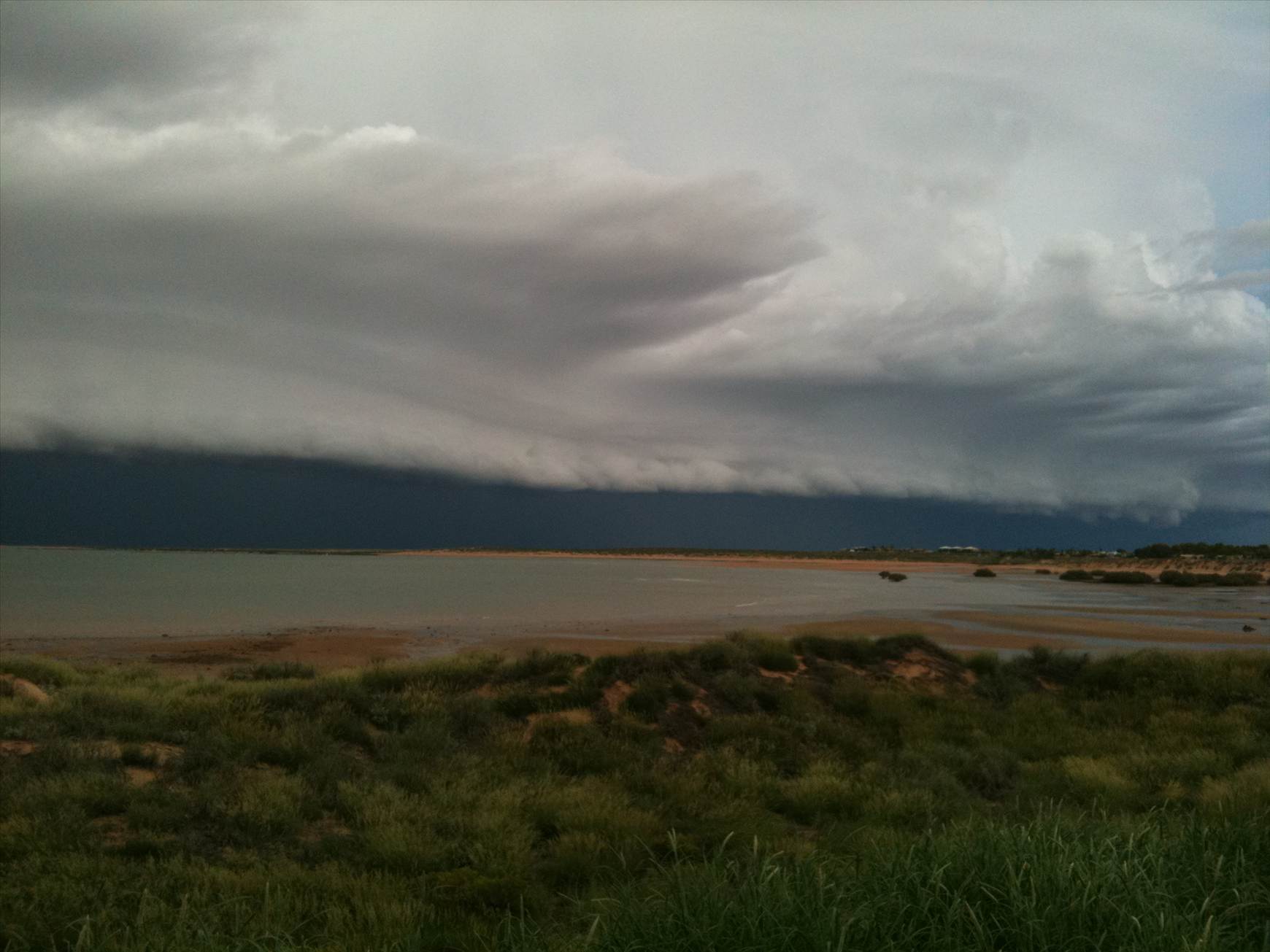
Generally speaking, the darker a cloud band is the more energy it holds and the greater the wind sheer it may bring with it. Best to go ashore and wait for a front to pass. Beware a sudden change in wind direction ahead of a front, it usually signals much stronger winds are on their way.
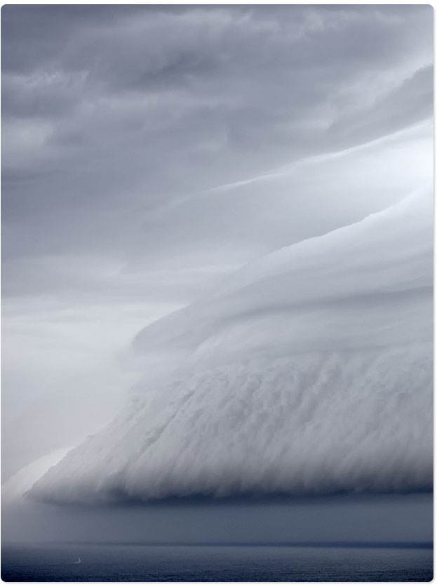
One correction, Cumulo-Nimbus are reasonably common. Whilst the 'classic' shape of a Cumulo Nimbus cloud is an anvil, basically any cloud that is taller than it is wide is classified in this type, and literally means a 'heap of rain'.
A career spent dodging TRS's and sailing through storms at sea has given me a huge respect for storm fronts.