cisco said..
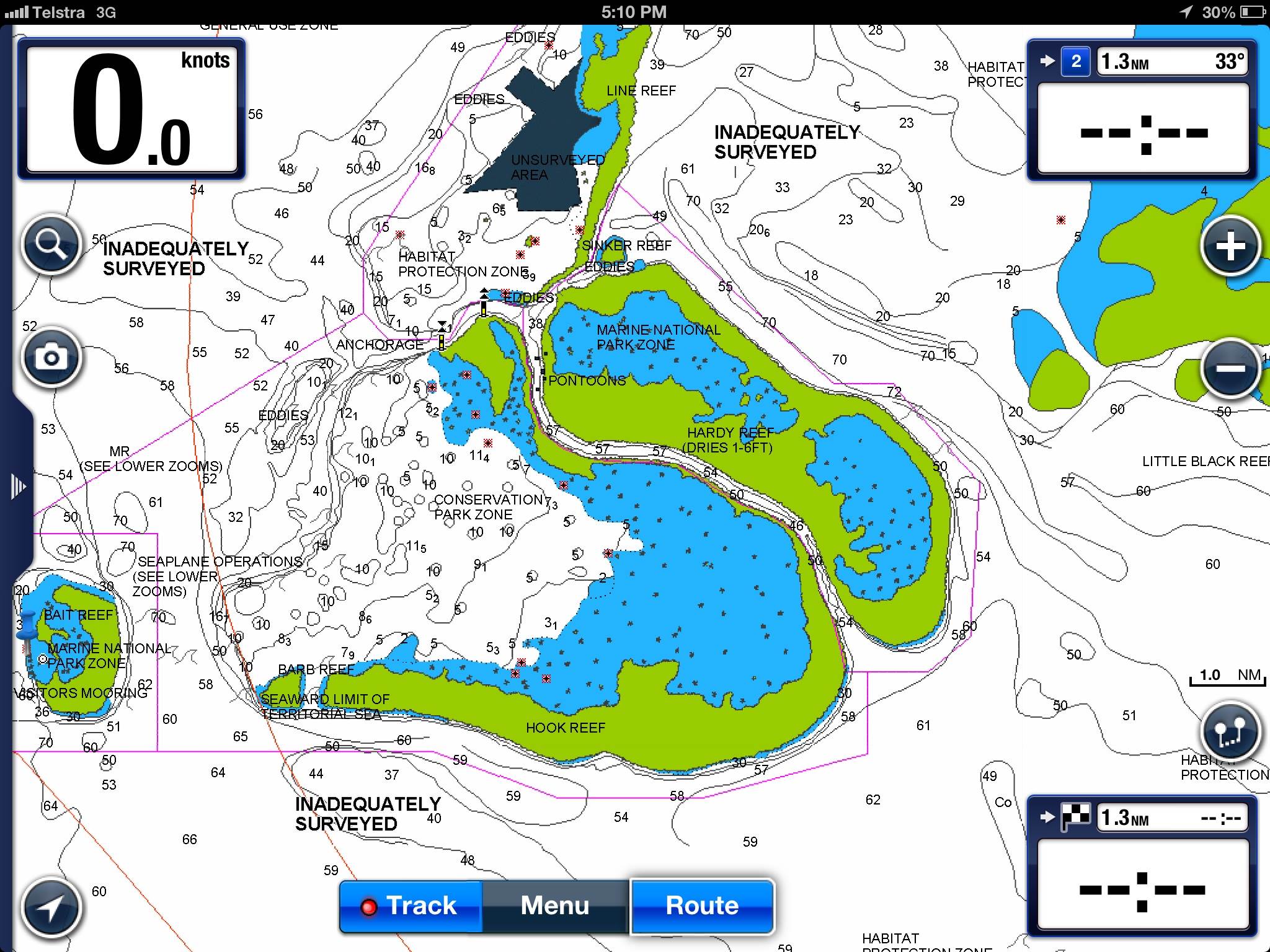
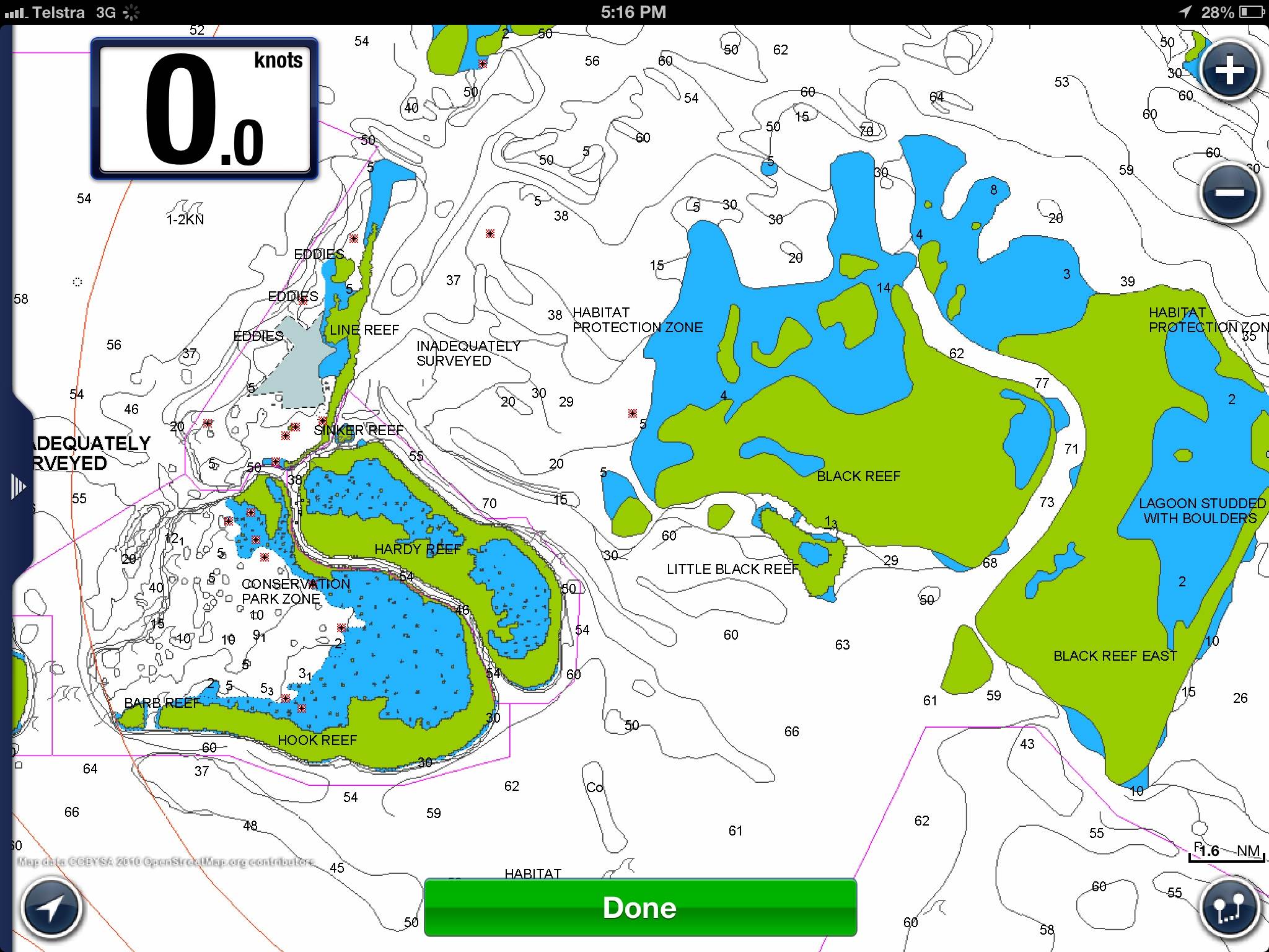
If you are referring to the expansion of the Abbot Point (funny about the name) coal terminal, the nearest reef is Old Reef some 25 nm north of it. Also those waters are part of the main shipping channel inside the GBR and has a depth in excess of 40 metres.
I am no fan of Gina the Gorilla but she won't be ripping up the reef and I can't see that the expansion will have any significant impact on the GBR.
Do you have more specific information about what she will be doing?
Pretty emotional Topic up here, most land based businesses want this to happen cause they see financial prosperity in it.
The local overweight polly initially did not want it publicly , then changed his mind when he got tapped on the shoulder by his superiors.
For those who dont no, this area , 20 klicks nth of Bowen, it was Pristine until the first stage of the terminal was developed years ago, and coal was mined in the west and stored at Abbot point, uncovered on open ground, then sent overseas.
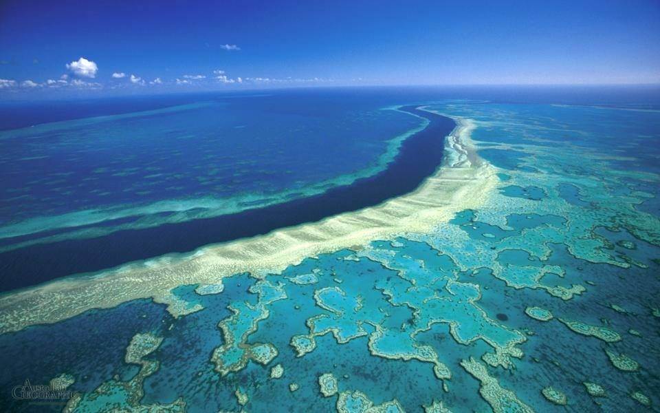
We are talking cyrstal clear waters , great fishing, crabbing , snorkelling, an a abundance of turtles dugong and lots of pelagics that live in the zone. You could lilterally walk into the tidal zone and find mud crabs, just like the hervey bay when i was a kid.
When works were started on the orignal terminal the water turned sour and to this day is still dirty up to 50 klicks from the terminal. Coal dust can be found on the beaches that align the terminal.
In the last couple of wet years hundreds of turtles have been found dead on beaches to the north and south of the terminal and the pollies cant wont give answers on the causes. I reckon poisens from coal and gold mines in the upper reaches 150 k away were flooded into these areas.IMO
The new plan is to open expand dredge/dump inside the GBR. The closest reef system is a stones throw away, not old reef, it extends all the way to camp island then following cape upstart and all the way through to bowling green bay . This zone is remarkable for ocean life .
If the Miners are allowed to dump dredge spoil, a couple of hundred dugoung will be dislodged and some will die. The turtles that are left are at risk of death cause of the polluted water. Who nows whats gunna happen to the fishery ?
The fallout on land from the mine development is another story. Most notably polluted waterways that are recognised by the miner and accepted by the government
anyone got the Gladstone dredging photos from last year, thats were we are headed if it goes ahead.