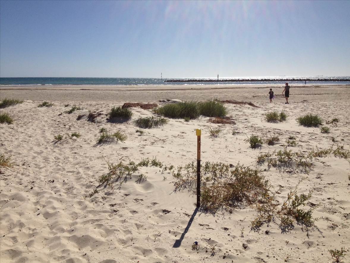
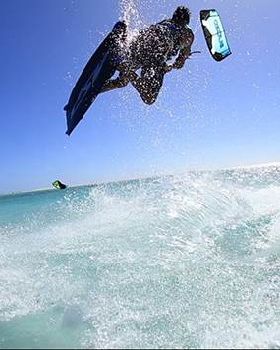
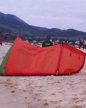
Bower Rd council boundary.
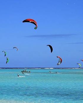
Port Adelaide Enfield council boundary is identified as Low Water Mark (LWM) as gazetted in the Government Gazette on 19/9/1996 pp.1158-1159The image shows the Boundary of Henley and Port Adelaide Enfield Councils.
From post, in a straight line to water (not survey confirmed, estimation only). Sth side Henley (ok to Kite) Nth Side Port Enfild (not ok to kite)

you can kite in the
water Nth of Bowere rd.
if you launch and land Sth of Boundary marker (see pic)
Is this the right move for kitebording as a group in SA?
Up to the individual.
SAKSA MEMBERS and
NON MEMBERS alike to decide.
info from;
Senior Property Adviser
Building Management
Department of Planning, Transport and Infrastructure


![6294 1183396337420 1003578324 30601108 7725536 n[1]](/Img/Photos/Kitesurfing/tn/mini-7249078.jpg)