Hey guys,
I'm going to be up the NW for 4 days starting this weekend, and hoping to get on the water in a few spots. Primarily east inlet

.
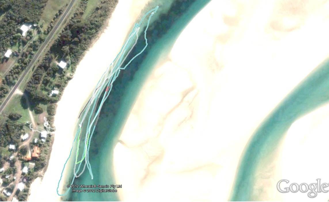
Wondering if someone can show me a google map of where you go in/launch from.
I remember about 15 years ago, driving in around some scrub/camping area, and having to walk through the dunes (I think dunes - maybe it was flat) to the beach area to get into a channel. It's hard to make out on google maps, but it looks like there is a track before the group of houses - or do you go through the clearing paddock?
Also, can I get everyone to setup their large fans and point them west on sunday?

johnny