From the back page of today's West in the motoring section.
Could not find it online so excuse the scanning.

"Coastal engineering consultants employed by the City of Rockingham have presented three channel options —
the preferred centre channel being 300m long, 30m wide and 1.6m deep heading in a south-east direction through an existing and stable weed bank to the east of the ramp.
I think this would provide the best balance between providing long-term access between the ramp and Warnbro Sound, and limiting the adverse impact on the environment and the public who use a nearby beach for swimming and exercising dogs.
The spoil material would be used for beach restoration in the immediate area.
Regular dredging would be required and the deep waters of Warnbro Sound could also help flush any silt into open water.
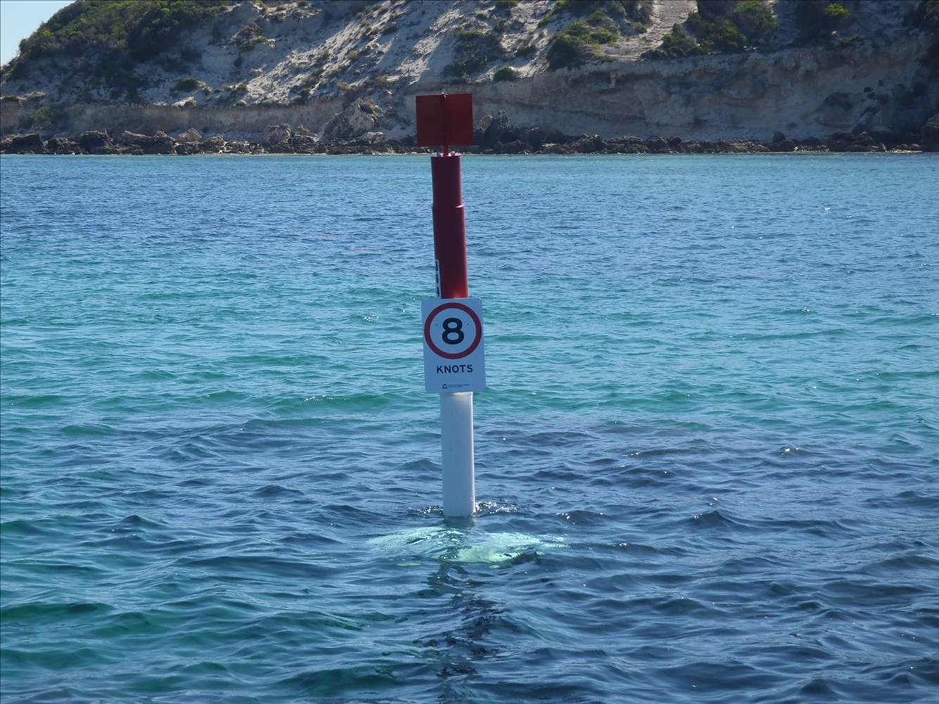
"Without a
formal navigation channel and demarcated channel markers the potential risk to safety and
conflict between recreational vessels and the windsurfing/kitesurfing communities will continue.Mr Sammels said that Rockingham Council's aim was to provide boaters with a safe passage for vessels up to 8m in length and its Engineering and Parks Department would
put yet another presentation to the Marine Parks and Reserves Authority on Thursday.I think windsurfers should have input in to this discussion. Post your thoughts here and we can collate and approach Rockingham Council.
Or contact them direct
Telephone: (08) 9528 0333
Fax: (08) 9592 1705
Email: council@rockingham.wa.gov.au