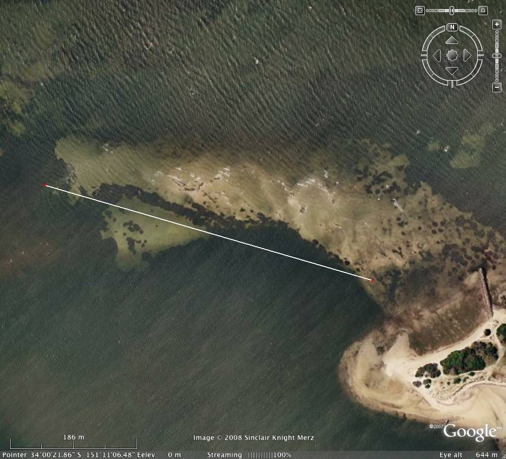
What do you guys think of this run in a NE? The white line is 500m, and the angle looks about right for a NE seabreeze (maybe a little deep - I'm NO expert). It'd have to be quite a low tide to expose the bank, or at least break the chop. But it looks like there's smooth water downwind, with Kurnell's strong seabreezes.
From Google earth

On Google Maps:
www.google.com:443/maps?ll=-34.006071,151.18513&z=17&t=h&hl=en