Realistic chart selection
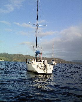
With a recent purchase of a new tub and the subsequent desire to bring her home (Perth), I have started to make a plan.
I am a paper chart person and don't wish to get into a paper versus electronic debate, although the new boat has plenty in the way of electronic charts (digital chart plotter at the helm, a chart plotter at the navstation as well as a computer with openCPN -I think... I forgot to ask if the lappy stays).
Havig a look at the charts available to bring the boat from Brisbane to Perth is extensive and expensive. I am thinking of just getting the larger scale charts and the approach charts for the areas I intend on visiting only. Surely if I also intend on using publications such as Robs Passage Plan, Cruising the Curtis Coast, 100 magic miles, the WA equivalent and the likes I would be in a good enough position to rely on the modern electronic maps in the event of having to run/hide from weather and any other unforeseen diversion..
What are your thoughts? Does anyone have any no longer needed charts they which to offload (happy to purchase)?
View topic