Central Coast, Cape Otway to Wilsons Promontory:
A storm force wind warning is current.
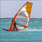
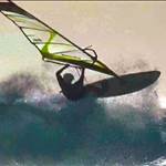
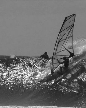
Tuesday: Winds: West/northwesterly 30/40 knots shifting west/southwesterly during the morning at 35/45 knots, reaching 50 knots offshore. Wind easing to 25/35 knots late in the day before tending west/northwesterly 30/40 knots at night. Seas: Mostly 4 to 7 metres. Swell: West/southwesterly 3 to 4 metres increasing to 4 to 5 metres in the west. Isolated thunderstorms.Tomorrow, (Tuesday) looks like a clone of last Thursday on the wind forecasts.
But, the tides are perhaps a little more favorable tomorrow with low tide at about 4pm in the afternoon when the wind may shift a bit WSW. There is a slight chance that it could be pretty good right on dawn but with the tide halfway in and the thought of a 6am rise and rigging in the dark I think I'll give that a miss and shoot for a sail in the afternoon.
And:
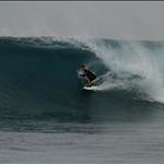
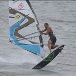
Wednesday: Winds: West/northwest 30/40 knots, reaching 45 knots offshore, shifting west/southwest winds at a similar strength during the morning before gradually easing to 20/30 knots by the evening. Seas: 4 to 6 metres, abating 2 to 4 metres. Swell: Southwesterly 3 to 4 metres, locally 5 metres in the west, gradually decreasing to 2 to 4 metres. 
Wednesday is looking even more promising with forecasts saying a definite shift to the WSW in the afternoon but with low tide right before sunset it could be another case of de-rigging in the dark
if the wind stays in that long.