Yesterday I trekked in to the Henty River Mouth! Was at Strahan for work and before I headed back, I was determined to see how far the Henty River had carved down the beach. I had Google Earth images in hand and managed to finally find the only track in through the impenatrable vegetation. Ended up doing over 7 km of walking through sand, bogs and bush and had to use my GPS to find my way back out and back to the car!!
Probably shouldn't be posting all of this, but this is what I found!!
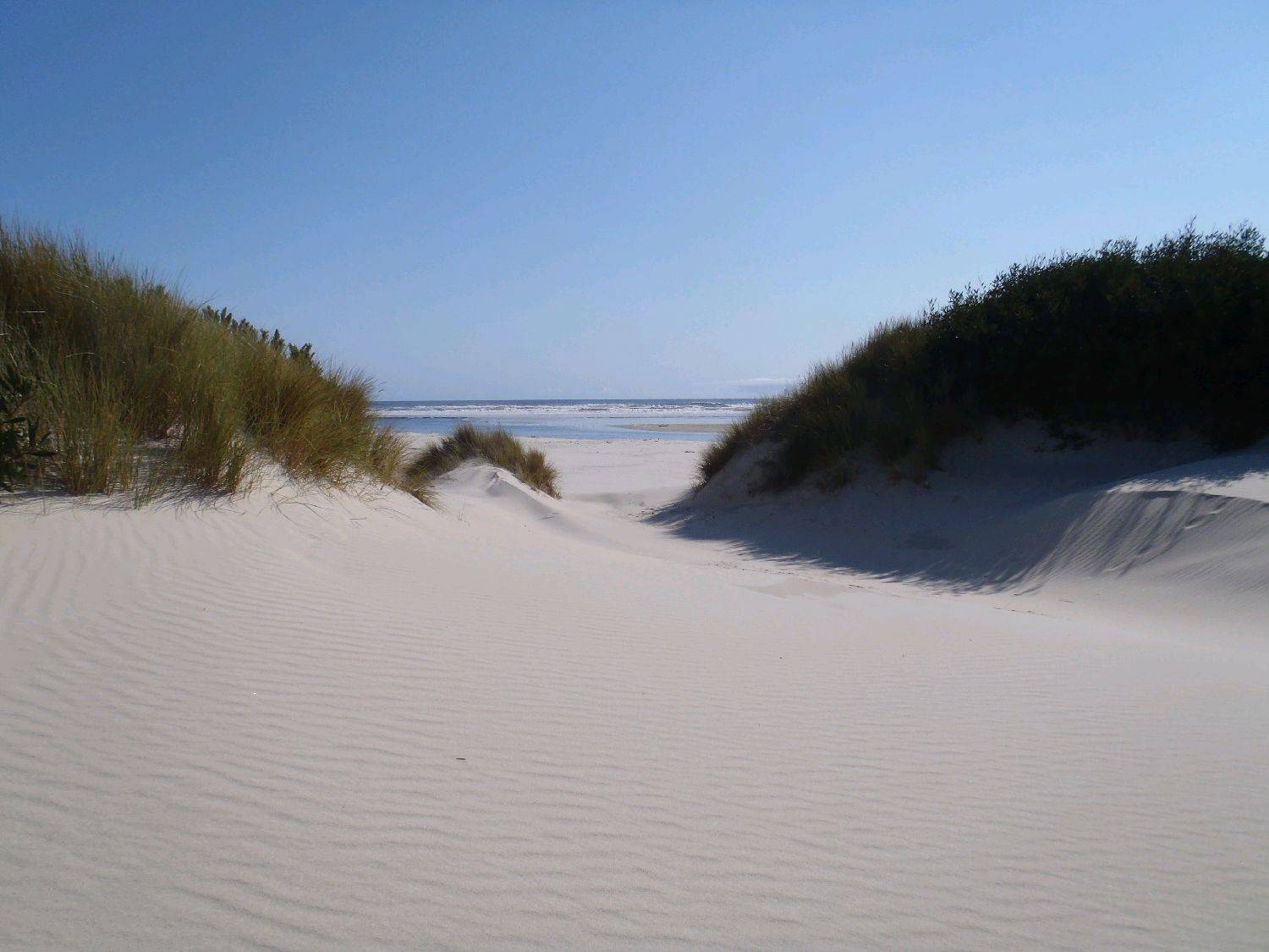
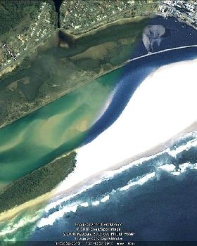
This is where the track came out at the beach - right at the mouth of the River!! Couldn't believe it and, as much as I had hoped, really didn't expect that the river would have pushed down this far:

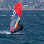
Looking right, this is what I saw!! This is all new, virgin speed strip, right up to where the sand angles back in toward the dunes. This new bit is just over 1.3 km long (GPS verified) and really does look very good:

Further up (camera zoom on full) is the original run where we usually sail, which is now 1 km in length (not that we'd ever actually had it looking this good)!!:

This is looking back down the new bit of the run:

And this is looking at the end of the run where it turns out to sea:

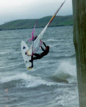
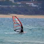
Who knows how much further this run is going to cut through the sand? Maybe not much more now the winter rains have finished. Pretty incredible that when we first sailed this spot last year (still only been 5 times) we were sailing along a short 200-300m section. Every sailing session so far has produced multiple 40 knot runs, but we still haven't had a really good session (enough wind).
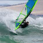
Anyway, the two sections each have their own nice arc, but together produce a straight line 2.3 km run!!
There are a few of us now who are watching the weather forecasts with a little more interest!!
It'll be a long walk back up, but the sand is hard and I don't reckon anyone will be too fussed if they've had a nice run ...

PS the trek in took so much effort, cause I thought it would be easier walking in the 2km from an old forestry track than do the full 4WD trek in and then still have to walk around 2km to get to the river mouth. However, I went down so many dead ends ...

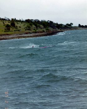
This photo gives some idea of the terrain I had to navigate through, which you really could easily get lost in ...

And finally back to the car and able to say "mission accomplished":